Eastern Sierra dual sport ride - days 5 & 6
April 19-24, 2015
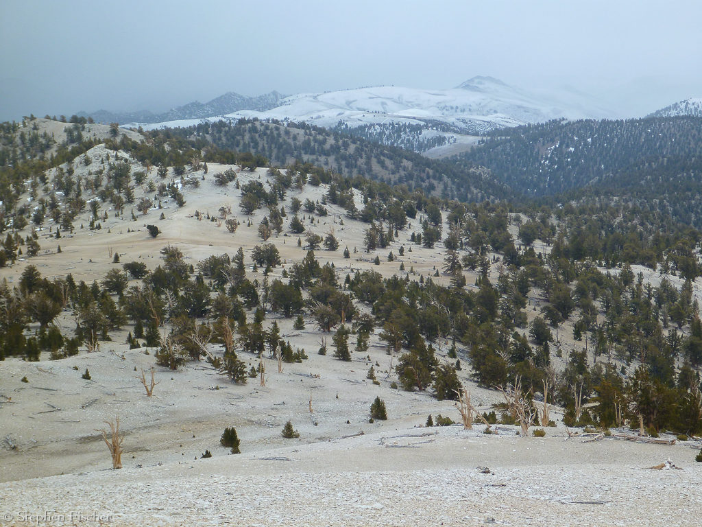
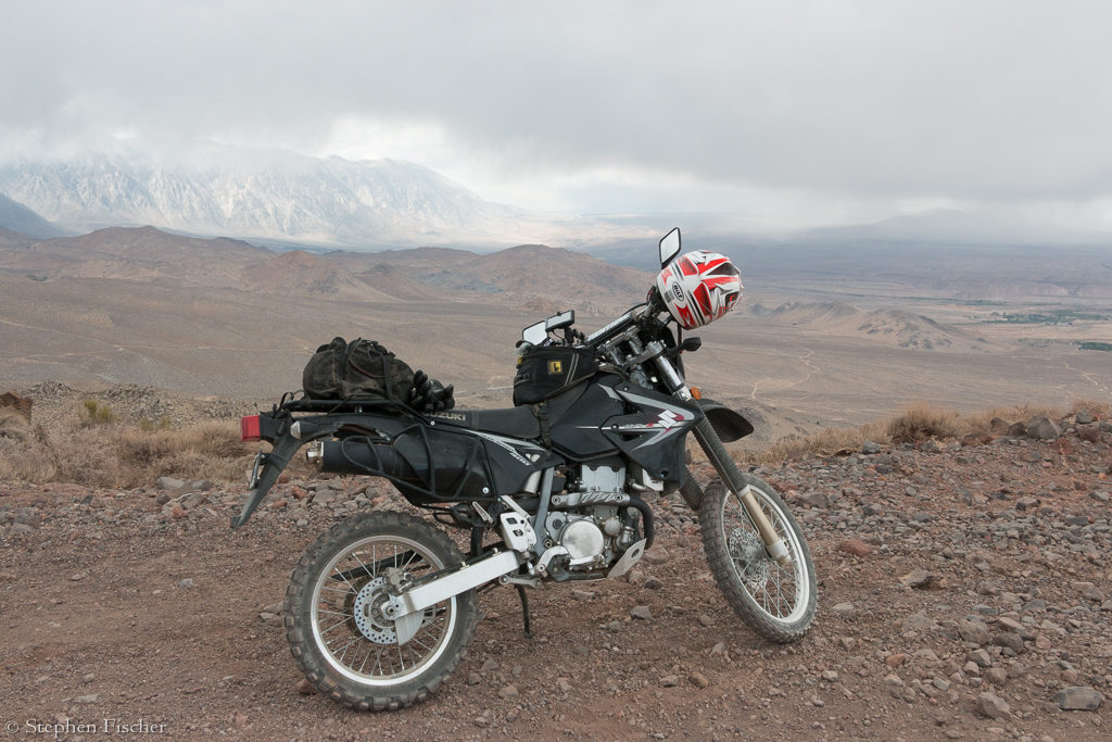
Day 5 ride: White Mountains and Coyote Flat
 Getting some rain the
previous night, but partially clearing in the morning, we decided to keep
camp and spend another day exploring the White Mountains and see how high up
into this terrain we could reach. After
topping off the bike’s tanks again in Bishop, we headed north on Highway 6
again, and then east up the Silver Canyon Road just past the Laws Railroad
museum. This is a quite steep
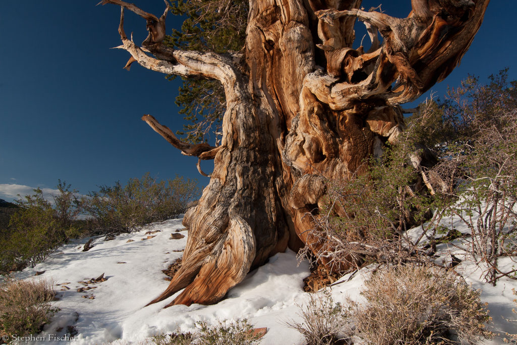
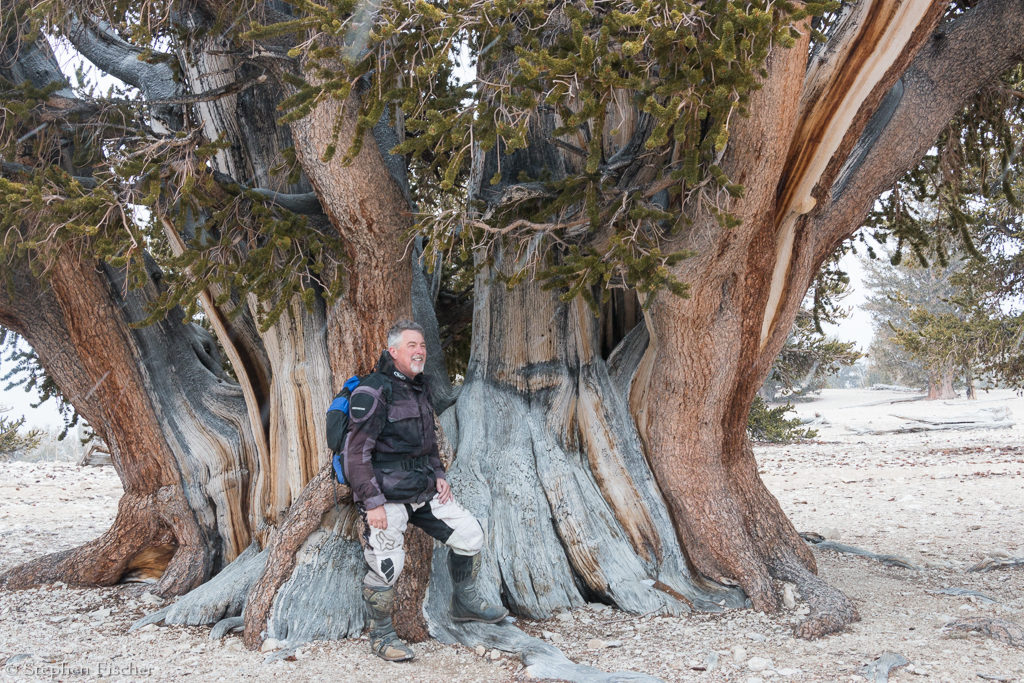
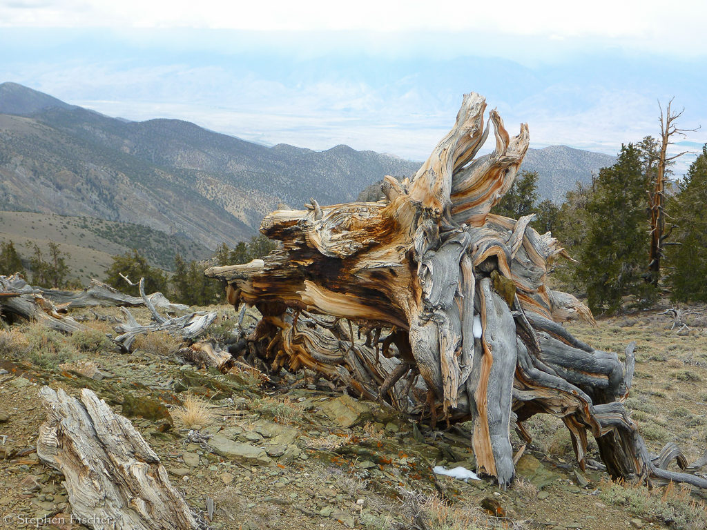
4wd road that deposits you at the top of a ridge in the Bristlecone Pine
National Forest (see a gallery of the area
here). This path is
quite fun on the dual sports with several water crossings and steep
switchbacks on the way up, with fantastic views looking back to the west.
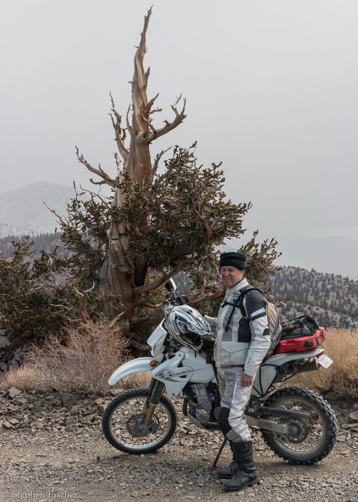
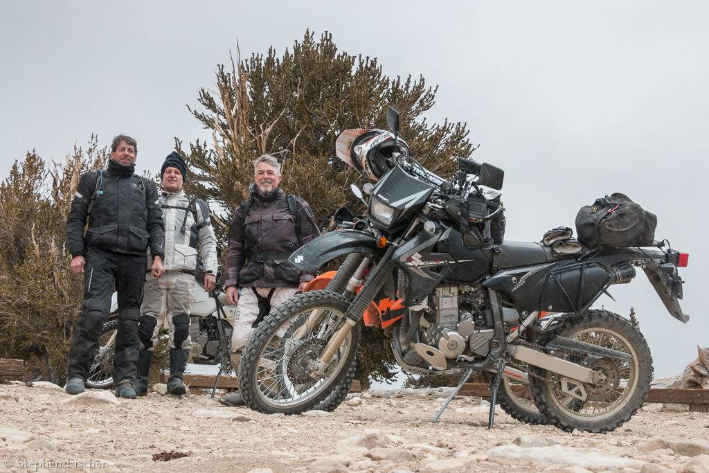
We were fortunate at the top that the gate into the Bristlecone Pines
area was open, and thus allowing us to continue on into the park. At an
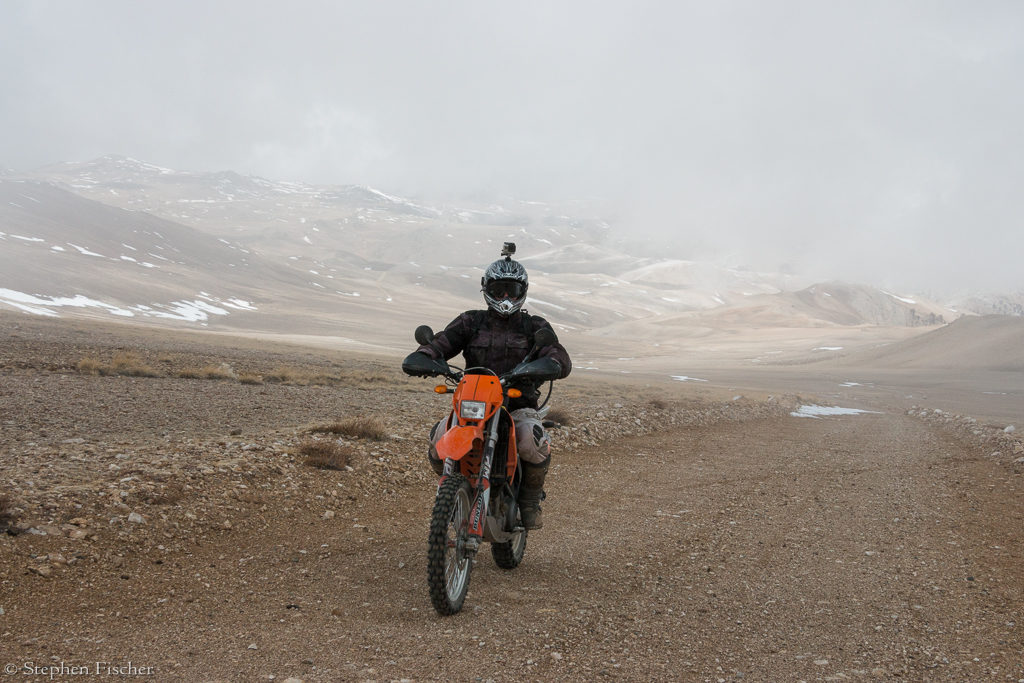
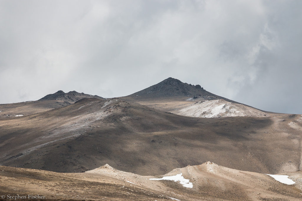
elevation of about 10,000 feet at this point, it was also starting to
lightly snow. We then headed
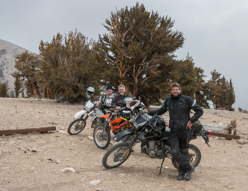
north along the top of the ridge with the next stop being the Patriarch
Grove in about another 15 miles and an elevation of about 11,000 feet. By
the time we reached this outer grove at the edge of the monument, the snow
was becoming a bit heavier and colder.
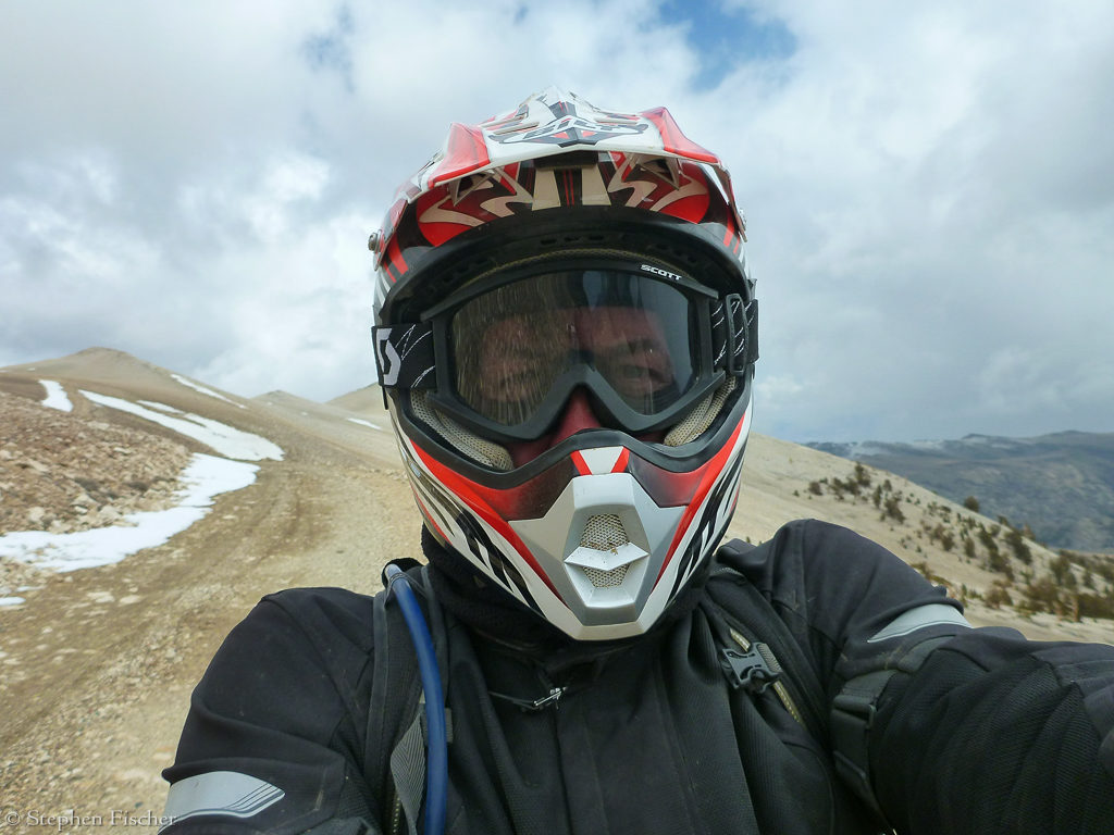
It was becoming a bit more painful, having just an open faced helmet
with goggles, and modest gloves. At this point I was warming my hands
on the engine during each stop to get more comfortable.
Given the altitude, the motorcycles were also becoming much more
sluggish. The extra power of
Tucker and Randy’s bikes also started to become more noticeable, as I was
having a harder time to keep up without stalling on my unmodified DRZ
without having to drop into a lower gear.
Getting some rain the
previous night, but partially clearing in the morning, we decided to keep
camp and spend another day exploring the White Mountains and see how high up
into this terrain we could reach. After
topping off the bike’s tanks again in Bishop, we headed north on Highway 6
again, and then east up the Silver Canyon Road just past the Laws Railroad
museum. This is a quite steep
4wd road that deposits you at the top of a ridge in the Bristlecone Pine
National Forest (see a gallery of the area
here). This path is
quite fun on the dual sports with several water crossings and steep
switchbacks on the way up, with fantastic views looking back to the west.
We were fortunate at the top that the gate into the Bristlecone Pines
area was open, and thus allowing us to continue on into the park. At an
elevation of about 10,000 feet at this point, it was also starting to
lightly snow. We then headed
north along the top of the ridge with the next stop being the Patriarch
Grove in about another 15 miles and an elevation of about 11,000 feet. By
the time we reached this outer grove at the edge of the monument, the snow
was becoming a bit heavier and colder.
It was becoming a bit more painful, having just an open faced helmet
with goggles, and modest gloves. At this point I was warming my hands
on the engine during each stop to get more comfortable.
Given the altitude, the motorcycles were also becoming much more
sluggish. The extra power of
Tucker and Randy’s bikes also started to become more noticeable, as I was
having a harder time to keep up without stalling on my unmodified DRZ
without having to drop into a lower gear.
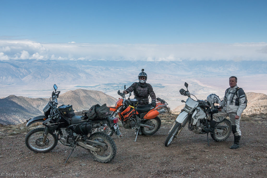
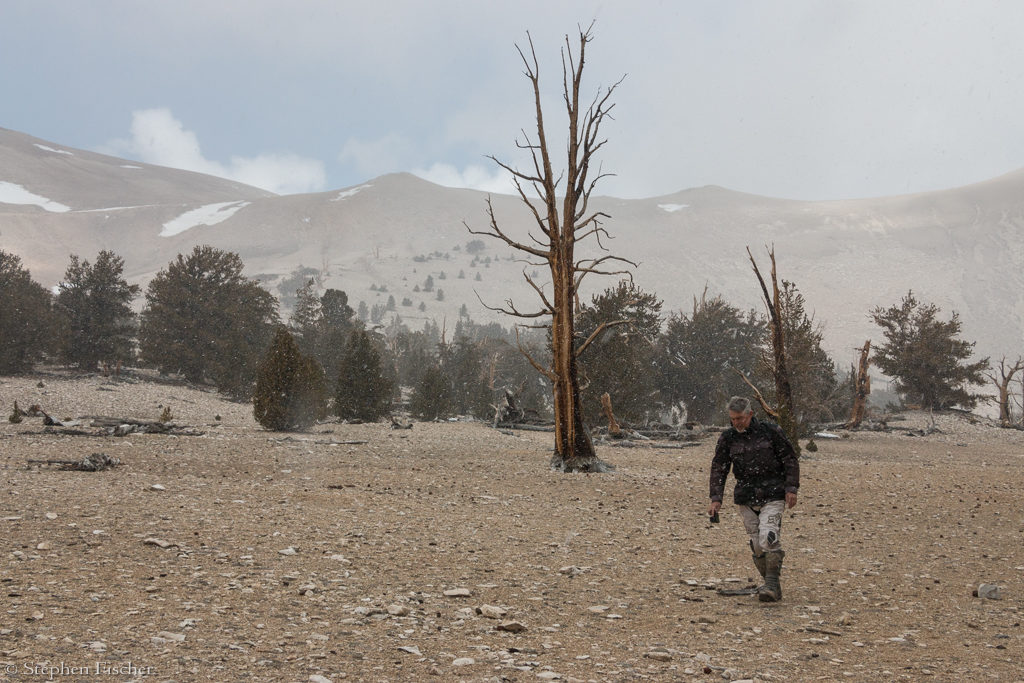
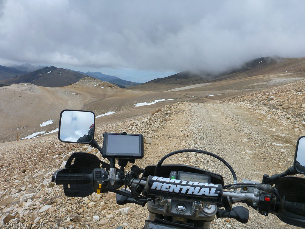
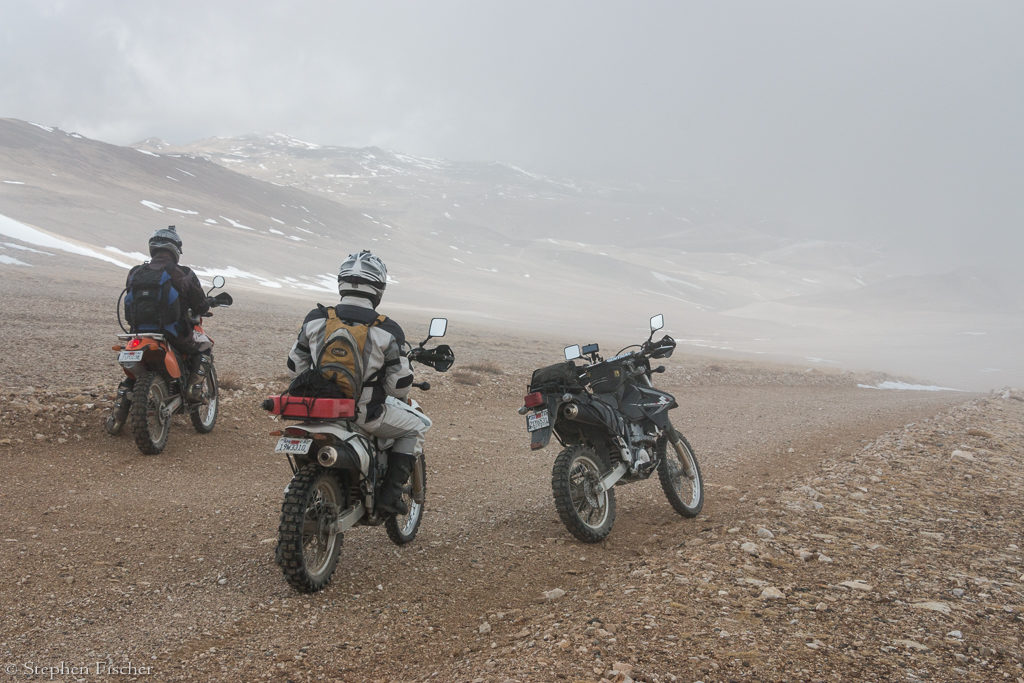
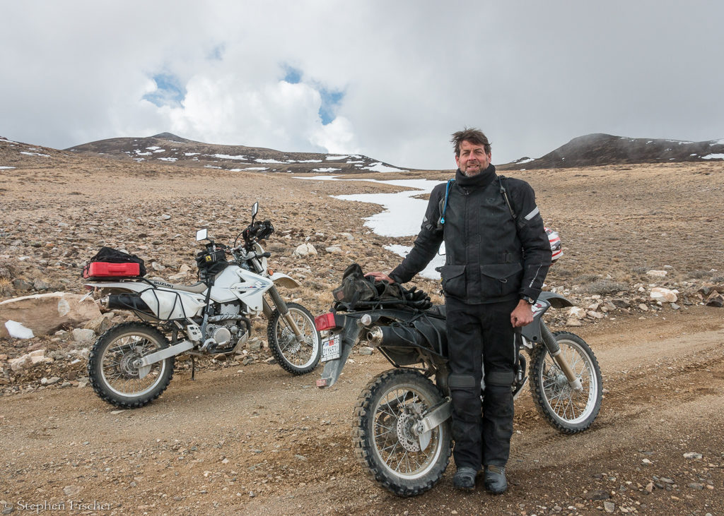
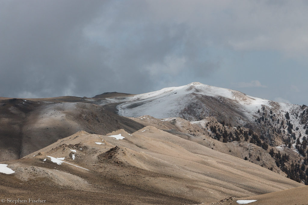
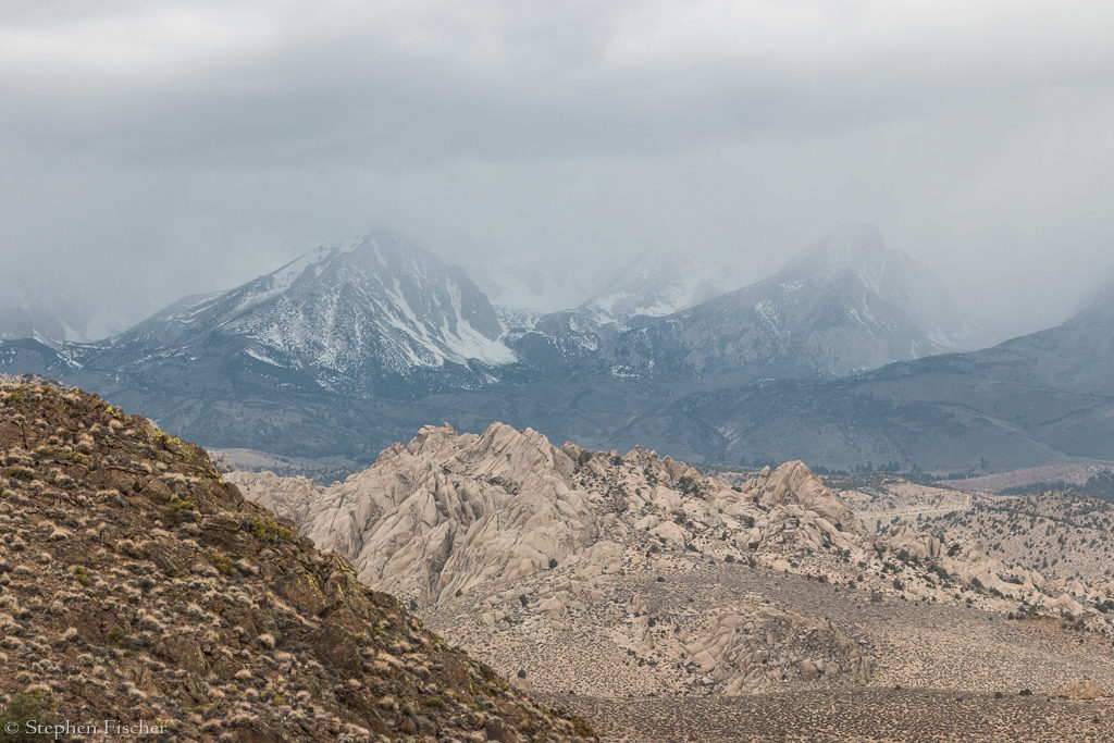
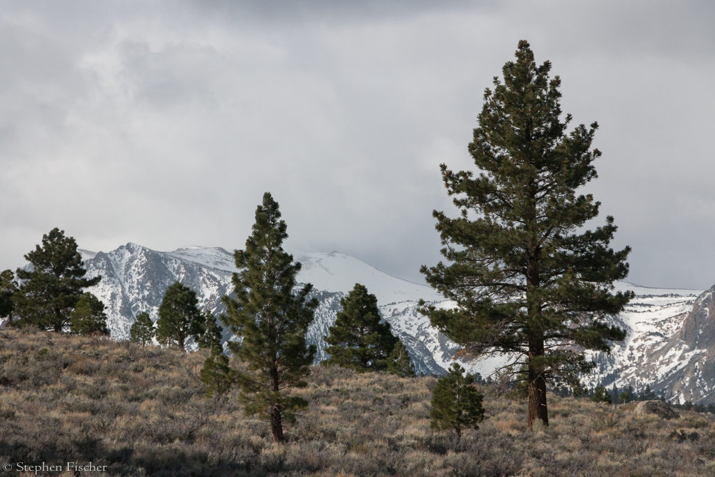
After some photographs of the Patriarch Grove, we decided to see how much higher we could still go, pressing on up toward the White Mountain research center. The views on this road become even more incredible the higher we climbed, entering into the cloud layer and even above it at times. The barren wind swept and partially snow covered mountainous terrain looked like something you would expect in Nepal. As we progressed, more snow covering the road started to impede our ability to ride on. In a few places we were able to walk the bikes across some of the shorter snow fields with our hand on the throttle to power them up. But at an elevation of close to 12,000 feet the snow became too much to continue and we decided to turn around, heading back to Schulman Grove at the Bristlecone Pines visitor center for lunch. Afterwards we then headed back to Bishop via the paved White Mountain road, and on to Highway 395 at Big Pine. Meanwhile a thunderstorm was moving through this area, and as we descended along the way back we encountered sleet, hail and then heavy rain at times, which made the riding slippery on the asphalt as well as painful, due to the open faced helmet. By the time we got to Big Pine, the weather had sufficiently cleared again, and we were able to air dry on Highway 395 back to Bishop.
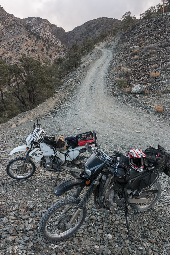
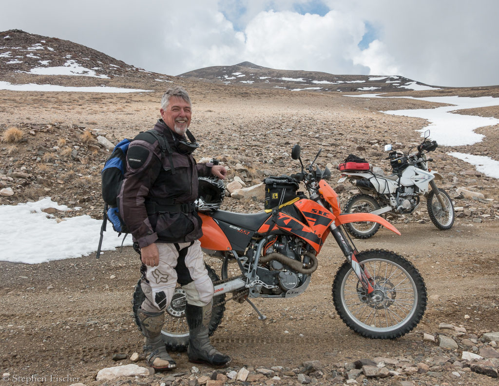
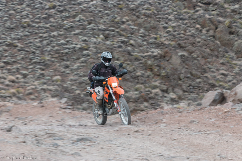
After regrouping at a coffee shop in Bishop (Inyo Cup), we decided there was still enough time in the day for another ride. This time we decided on one to the sierras just southwest of town to a location known as Coyote Flat. This ended up being the last and most challenging ride of the trip. The first 5 miles were on Coyote Valley Road, which has fairly deep sand the entire segment. It was a good opportunity to practice sand riding skills, as it is very easy to crash in this stuff if your front wheel gets just a bit sideways and then gets pulled to the side. I learned the best approach for me was to stand on the pegs, weighting toward the rear of the bike, keeping enough speed to try to surf over it, while holding the front handlebars firmly straight to prevent them from catching an edge, and using your body to lean for controlling your turns. More speed tends to make the bike more stable, but the balance is having enough confidence, and not having so much that if you crash, it is not too bad. Talking to another experienced dirt bike rider later, he mentioned having a steering stabilizer can help and reduce riding fatigue for terrain like there where you know you could be riding in deep sand for longer stretches at a time.
After the sand, the road climbs rather steeply and continuously for another 5-7 miles, but rockier and more rutted than what we did that morning up Silver Canyon. The trail is also much more popular as we encountered a few other dirt bikers and four wheeled Razors heading down trail while we were going up. Given the steepness, you need to stay on the throttle pretty hard in order to best get over the rougher stuff. I almost collided with one Razor as we both crested a local ridge near the top from opposite directions, with both of us having to steer into the weeds to dodge each other. Just as we crested the main ridge, Tucker’s bike started releasing steam from the engine coolant, apparently overheating after this long and steady climb. While the DRZ400S have a coolant overflow tank and electric fan on the radiator, apparently this older model KTM 625 had neither. After Randy and myself went on for a couple of more miles to explore the Coyote Flat area, Tucker hung back to allow his bike to cool off. We decide to avoid trying to remove the radiator cap to add some of our drinking water, as it looked like there was only a limited time when there was coolant loss, with the ride back downhill being much easier on the engine.
After about 15-30 minutes exploring in the Coyote Flat area, we then descended back, retracing our path, and getting more practice in the sand, with this time nobody crashing. To get back to camp, we decided to take a “shortcut” suggested by Tucker to the north across a maze of various dirt roads that looked visible from up high, bypassing from having to ride into Bishop and back out again on the surface streets and Highway 395. This shortcut ended up being a bit trickier than expected, getting trapped on what looked like it might be LADWP land, due to various fences, ditches, and an aqueduct of diverted water. After a while, I found a route out, but it required us to cut through an unlocked gate along with a fairly deep water crossing (enough to get my legs wet) via one of the bigger active ditches. I guess it is good thing that none of us crashed in the crossing, and potentially spilling fuel or oil from our bikes :^) I presume LA treats the water it after it comes out of the aqueduct and before they drink it? Don’t they?
Day 6: Heading home
We woke up the next morning to threatening weather and noticeably colder than before. With a forecast for a new front with more rain and snow from Tahoe all the way to Owen’s Valley by that evening, we decided it was time to pack up and head back, having a good fill of adventure rides for the week.
This has been my most memorable dual sport motorcycle trip so far, and a good sampling of the terrain one can find in the Eastern Sierras and White Mountains. Many of the rides can also have been taken with a larger adventure bike, with Coyote Flat and some segments around Conway Summit being the biggest exceptions (for all but the more experienced riders). As we have explored areas like these, we continue to be amazed about how much potential riding territory there is out there and how scenic it is. All the more reason for planning the next trip …
 |
 |
 |
 |
 |
 |
 |
 |
 |
 |
 |
 |
 |
 |
 |
 |
 |
 |
 |
 |
 |
 |
 |
 |
All content and images are property of Stephen Fischer Photography, copyright 2015. Last updated: 5/18/2015