Eastern Sierra dual sport ride - day 2
April 19-24, 2015
Day 2 ride: Conway Summit
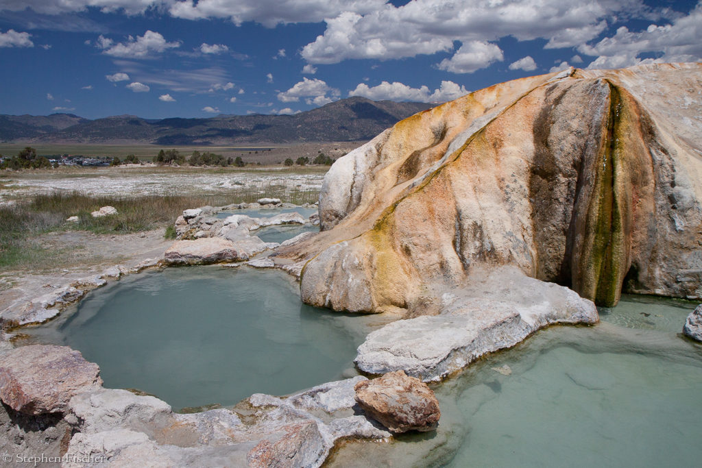
The next morning after breaking camp in the Hope Valley, we set out for our next base camp up along Green Creek, south of the town of Bridgeport. First we stopped for lunch at the local burger joint Jolly Cone, and then decided to take a dip at the Travertine Hot Springs just east of town. While soaking in these waters, we got trapped into a monopolized conversation by a boorish older man originally from Serbia (and kept reminding us “he is a citizen by choice”) and his quieter sidekick. The non-stop monopolistic one-way conversation about his many accomplishments really started to grate on all of us, including one other innocent bystander who also happened to be there. After about 30-45 minutes, I don’t know if I was too fatigued by the hot water, or from listening to this guy drone on about nothing on everything. When he also mentioned he had been previously married twice, but neither lasted that long; I was thinking about how sorry I felt for these women.
 After escaping from the
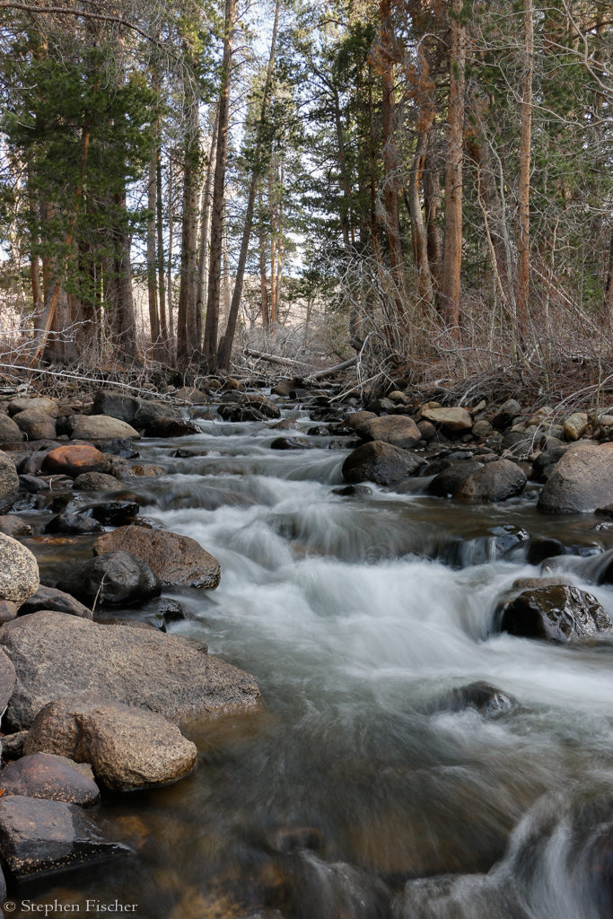
hot springs, we made our way up the 8 mile dusty
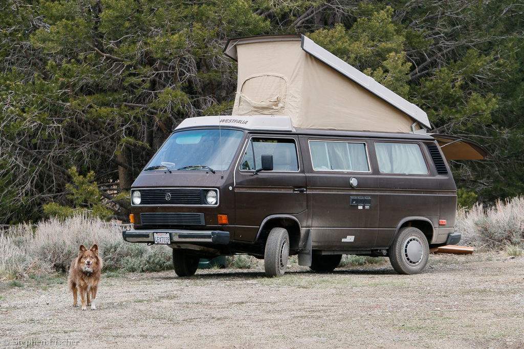
road to the Green Creek area, finding a convenient camp location adjacent to
a lake that used to be the site of one of the first power stations that
supported the famous mining town of Bodie.
While unloading our bikes for that afternoon’s ride a couple of hours
later, my jaw dropped when Colonel Mcbrag and his lieutenant from the hot
springs drove up and stopped at our campsite. Fortunately they did not stay
long, so we ended up avoiding the unpleasant task of having to get rude and
asking him to leave. I was
already forming a message in my mind about wanting some privacy at our
camp, and that there were plenty of other good locations further on.
After escaping from the
hot springs, we made our way up the 8 mile dusty
road to the Green Creek area, finding a convenient camp location adjacent to
a lake that used to be the site of one of the first power stations that
supported the famous mining town of Bodie.
While unloading our bikes for that afternoon’s ride a couple of hours
later, my jaw dropped when Colonel Mcbrag and his lieutenant from the hot
springs drove up and stopped at our campsite. Fortunately they did not stay
long, so we ended up avoiding the unpleasant task of having to get rude and
asking him to leave. I was
already forming a message in my mind about wanting some privacy at our
camp, and that there were plenty of other good locations further on.
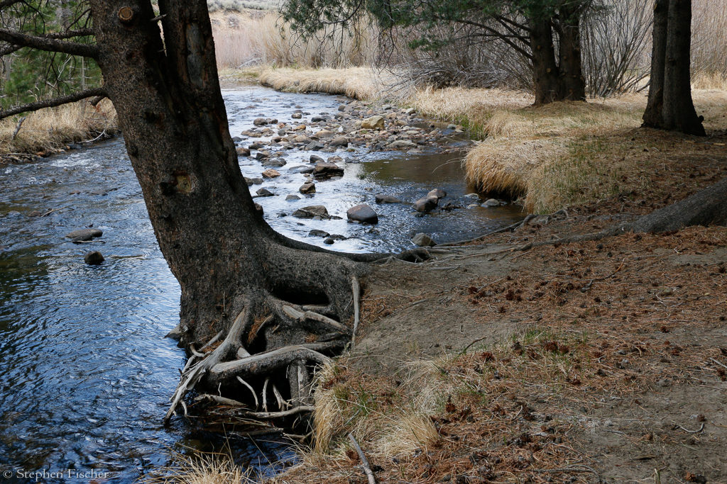
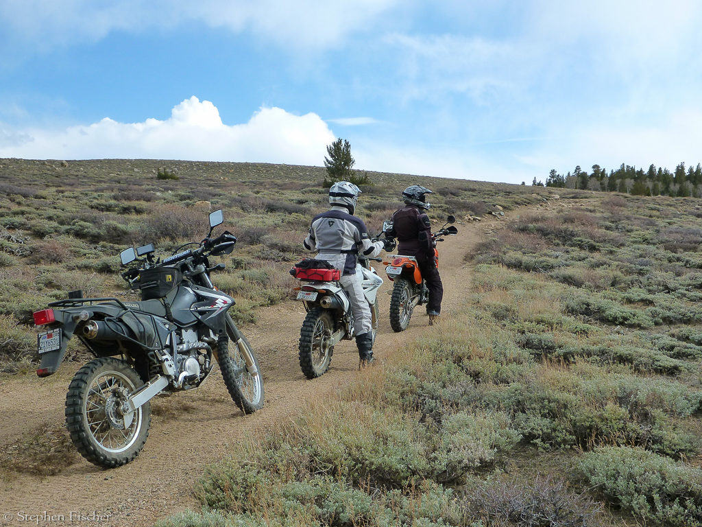
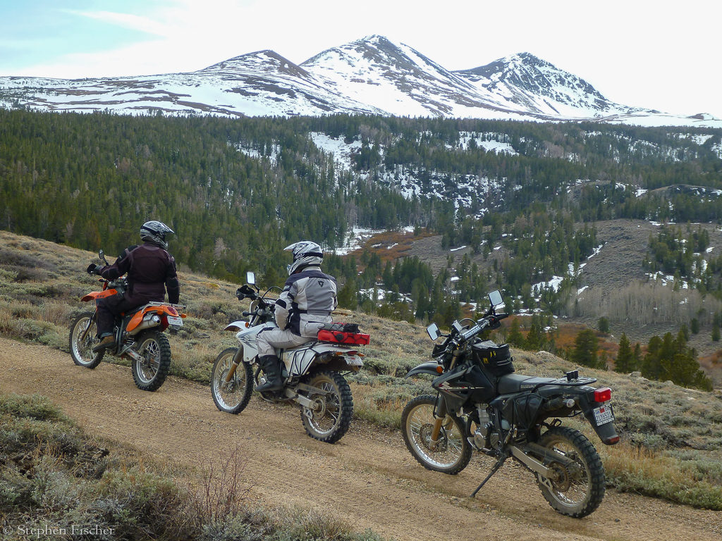
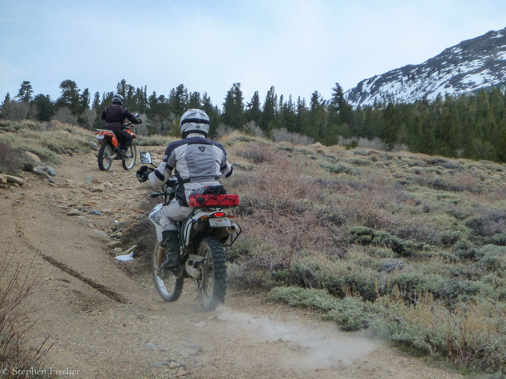
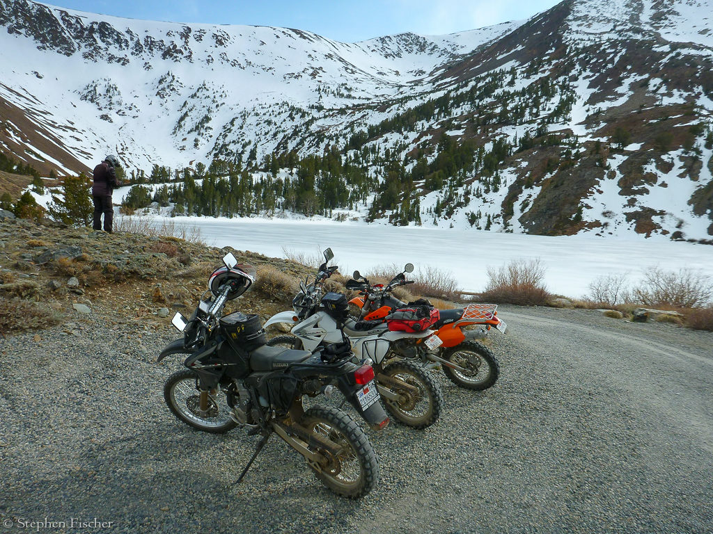
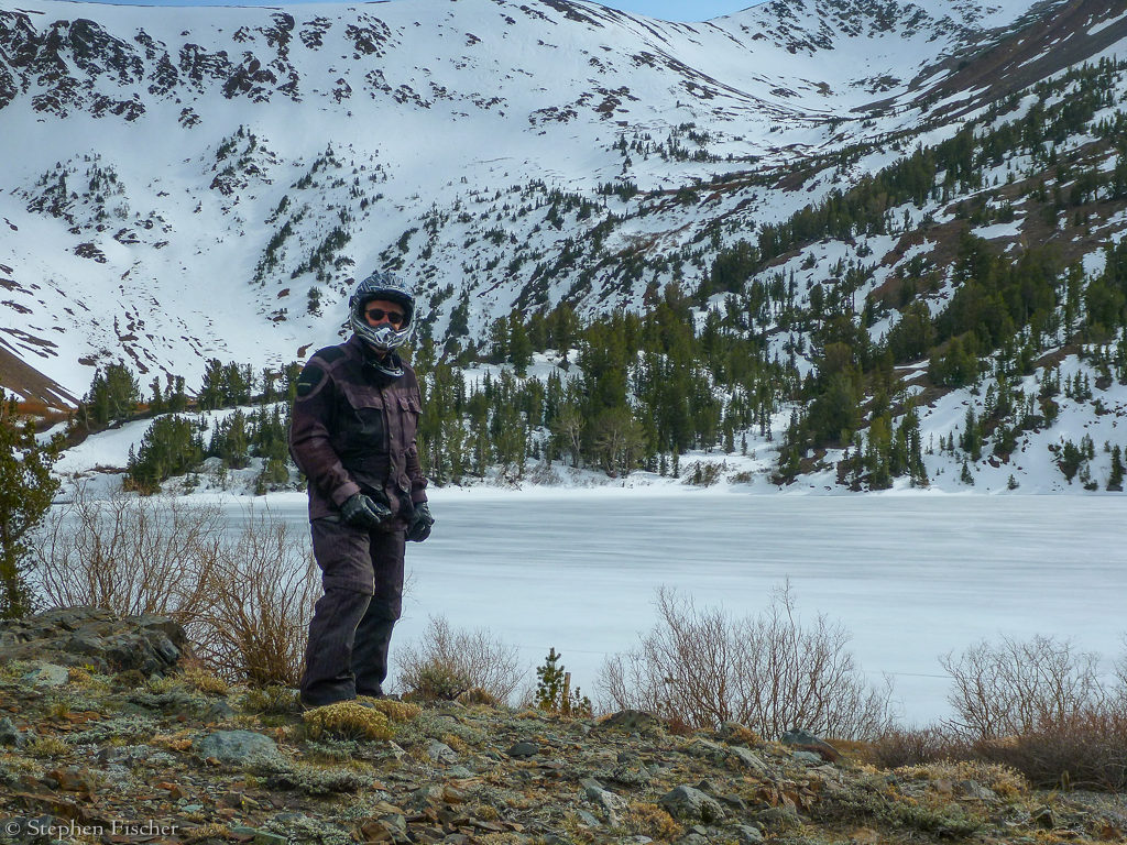
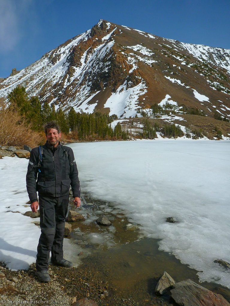
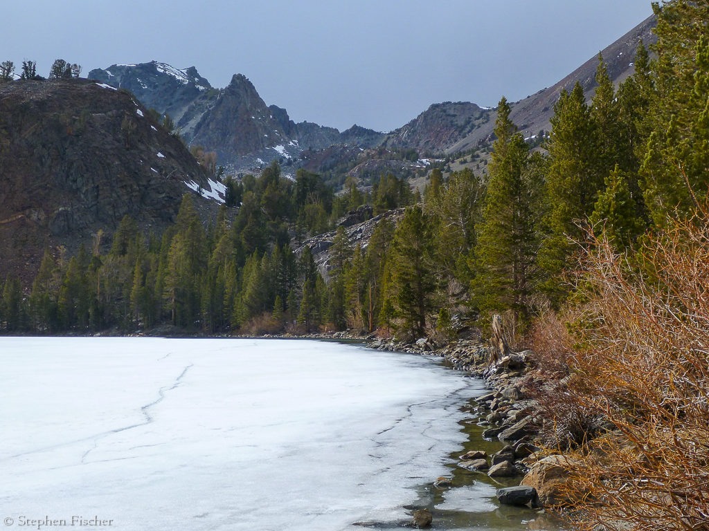
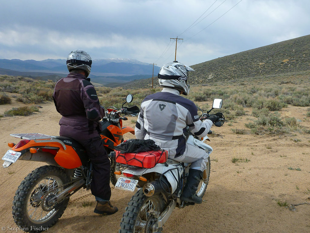
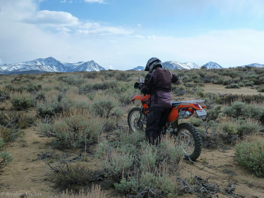
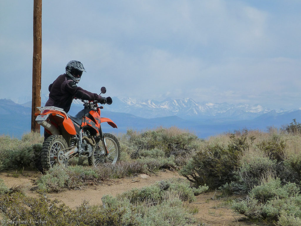
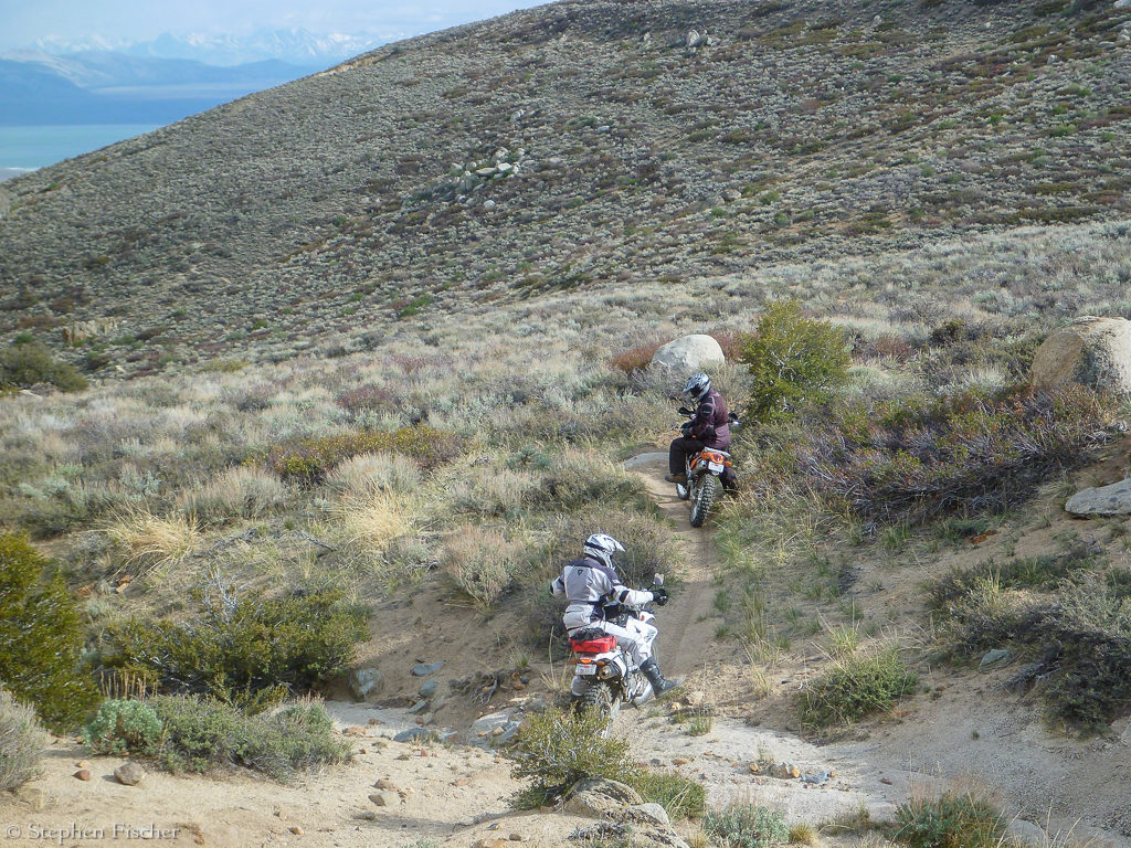
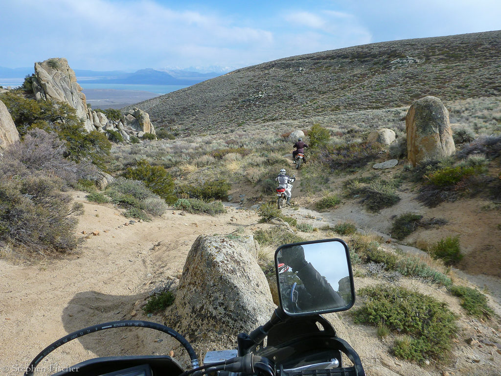
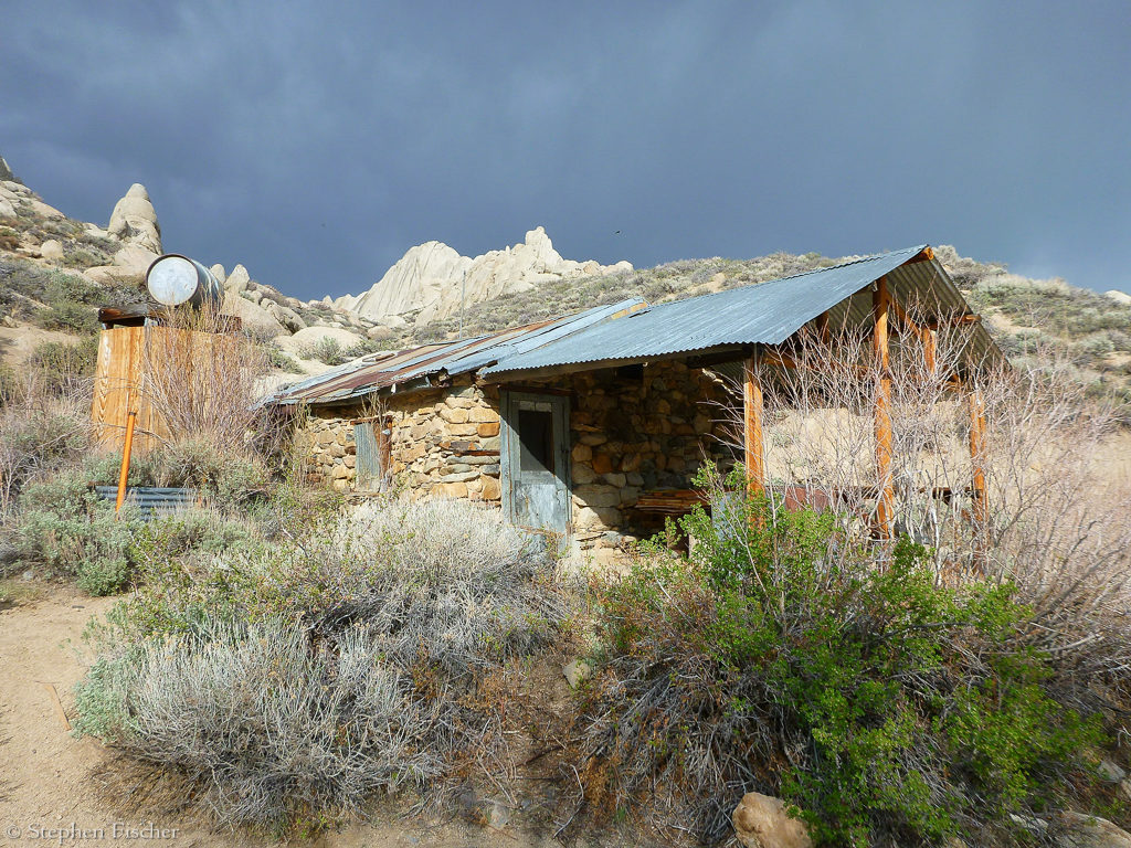
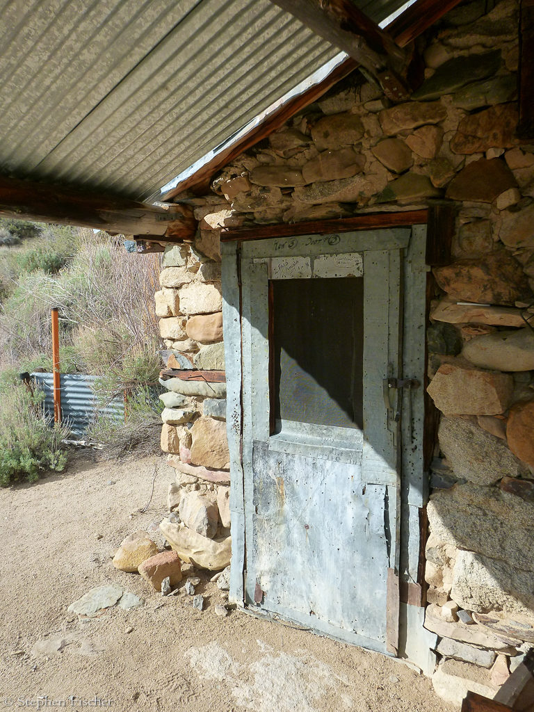
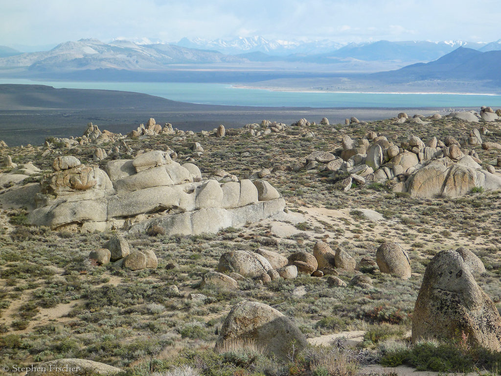
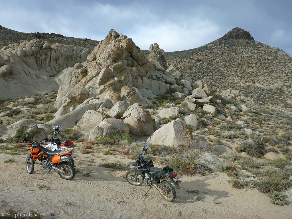
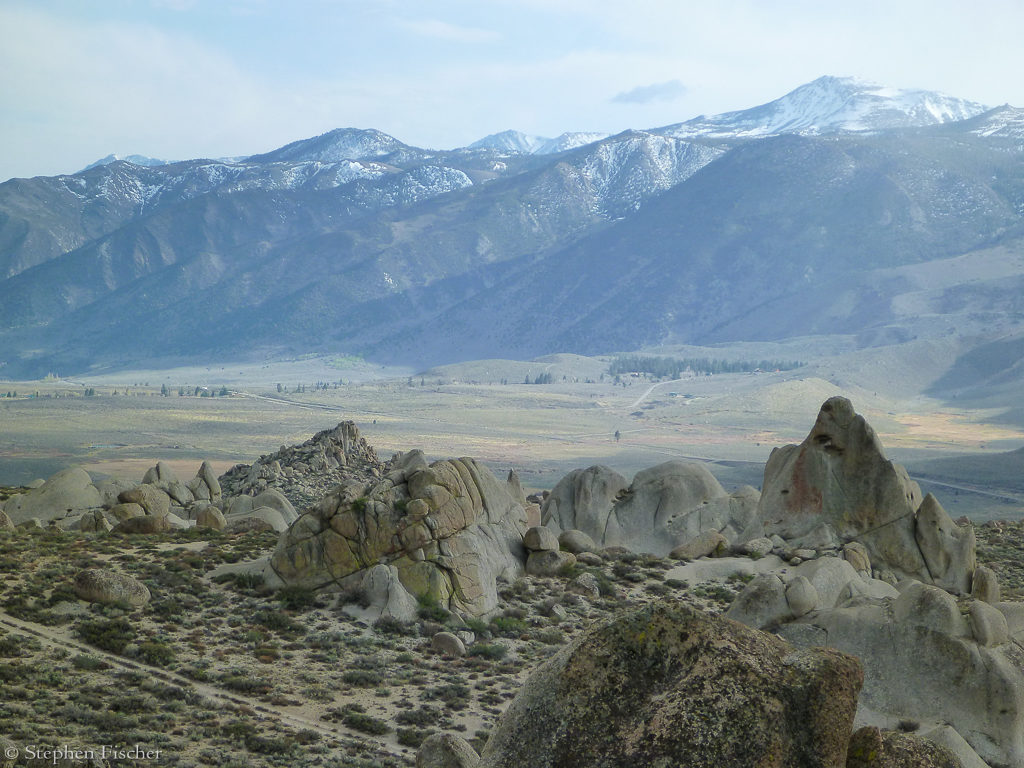
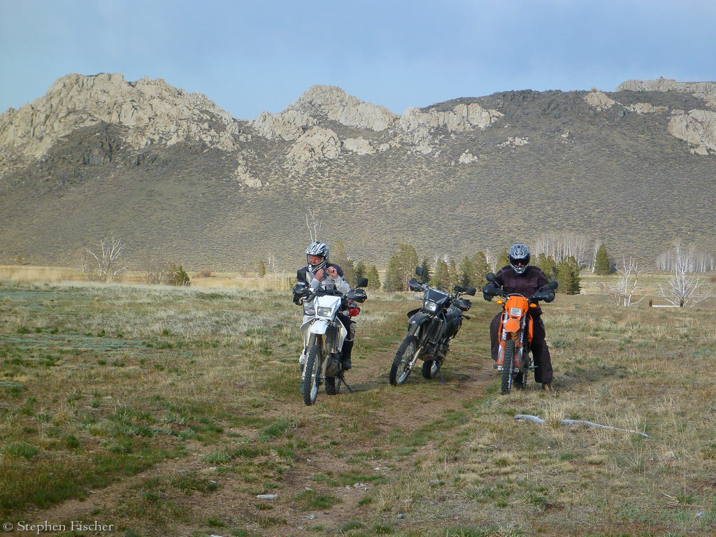
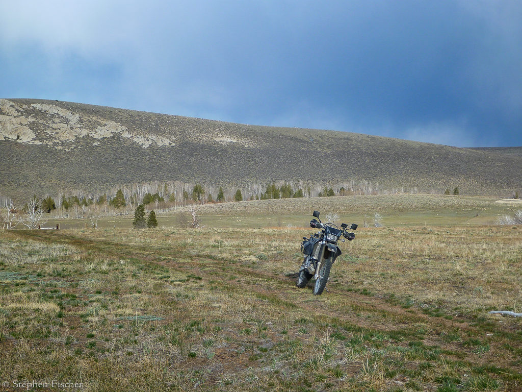
The ride for the afternoon of the second day we explored the mountains around Conway summit on both sides of Highway 395. First we explored the Dunderberg Meadow area, south of Green Creek, working our way up to the Virginia Lakes, following some dirt roads in reasonable shape, with a few stream crossings along the way. By the time we reached the lakes, there was snow everywhere, and the main lake was still frozen. After some photos we then headed down to 395 at the summit via the paved road. From here, we crossed the highway and continued on a dirt access road behind a Cal Trans facility, continuing up on the ridge to the east, with Tucker leading the way. Tucker then lead us down a single track path off to the southeast toward the Mono Basin (having been here before on his CRF450), weaving between granite boulders and sage brush, roughly following a dry creek and the path of an ad-hoc mountain bike trail. This got fairly technical with some significant descents in a few places. Along the way we encountered an old stone miner’s building that some person or group has restored and improved upon with some extra amenities like a water tank on the outside, and a solid steel door and heavy padlock on the main building. Based on some surprisingly hairy mountain bike jump ramps in reasonable shape on the trail down, it appears to be a hangout for some highly skilled local riders. It was hard to fathom the landing for some of these jumps given all the granite boulder and sage brush about. After a bit more exploring of the surrounding granite hills on the bikes, along with another stream crossing, we ultimately we ended up back on the highway further down toward Mono Lake, taking this back up to the summit.
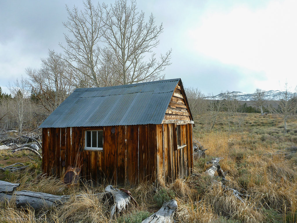
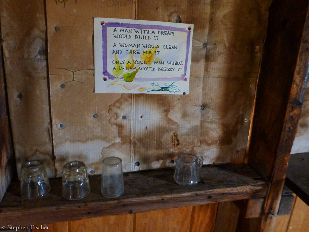
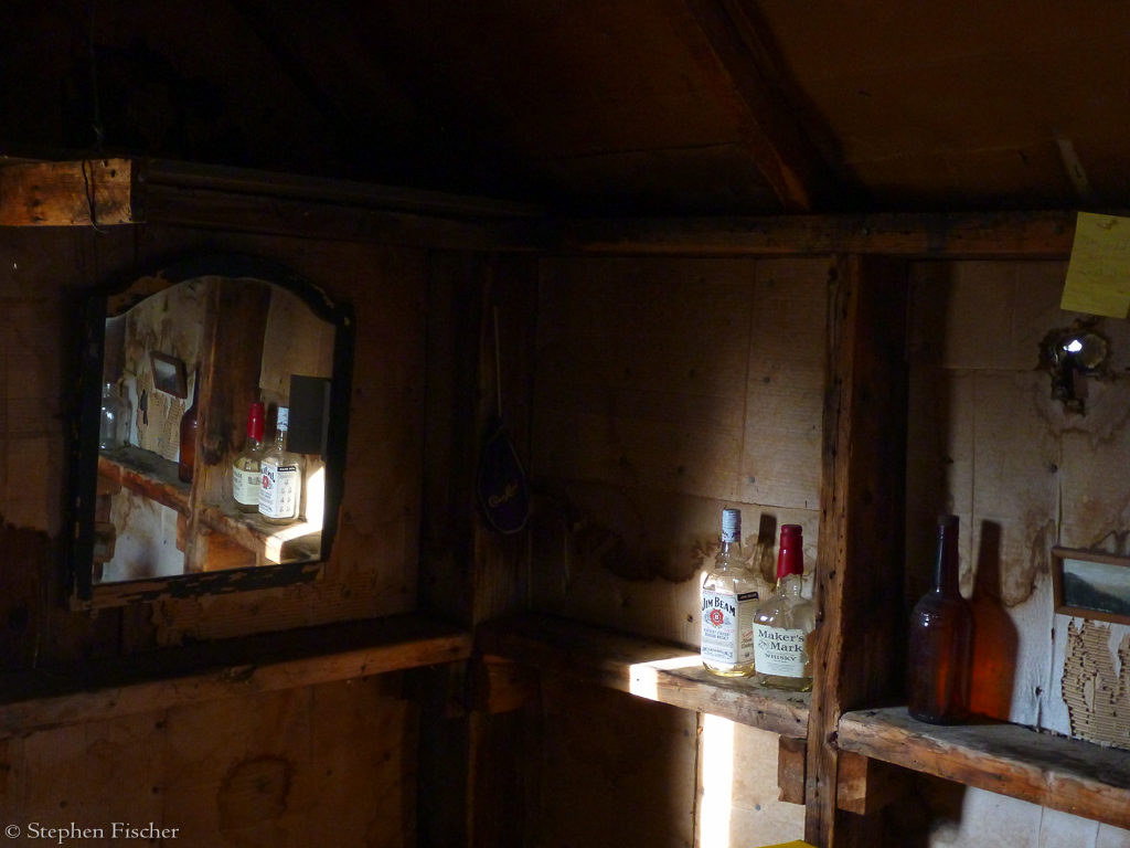
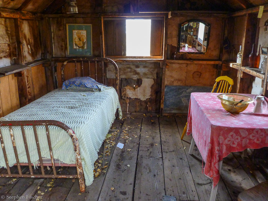
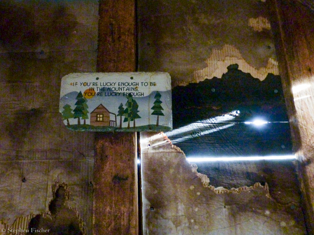
Getting back to our camp at Green Creek from Conway Summit ended up being a separate adventure. Tucker claimed to know of a “shortcut”, and for the first 80% of this ride across a mix of rough 4wd roads and ad-hoc horse or cattle trails, things went fairly smoothly. Along the way we encountered another old shack that apparently has been used by the local cowboys, with the inside showing signs of TLC and a women’s touch. After a few pictures, we moved along. Further down the road toward the west we were soon thwarted by a freshly installed barbed wire fence with no obvious way around. While exploring for an edge to this fence, I ended up getting separated from Randy and Tucker. They went over a ridge to the south while I looked for a different path to the north. But with no luck so far, I then set out across a sage field back to the southwest after spying the road about 200 yards away. This got a bit exciting when I had to clear about 3 different water ditches along the way. By the time I reached the road again, Tucker and Randy came riding up over the hill from the south, apparently finding a different route out of the maze of fences. We then pulled into camp at close to nightfall, with the ride taking longer than we expected due to these complications and all the sights we stopped at along the way.
 |
 |
 |
 |
 |
 |
 |
 |
 |
 |
 |
 |
 |
 |
 |
 |
 |
 |
 |
 |
 |
 |
 |
 |
 |
 |
 |
 |
All content and images are property of Stephen Fischer Photography, copyright 2015. Last updated: 5/18/2015