California Webcams
and other useful resources
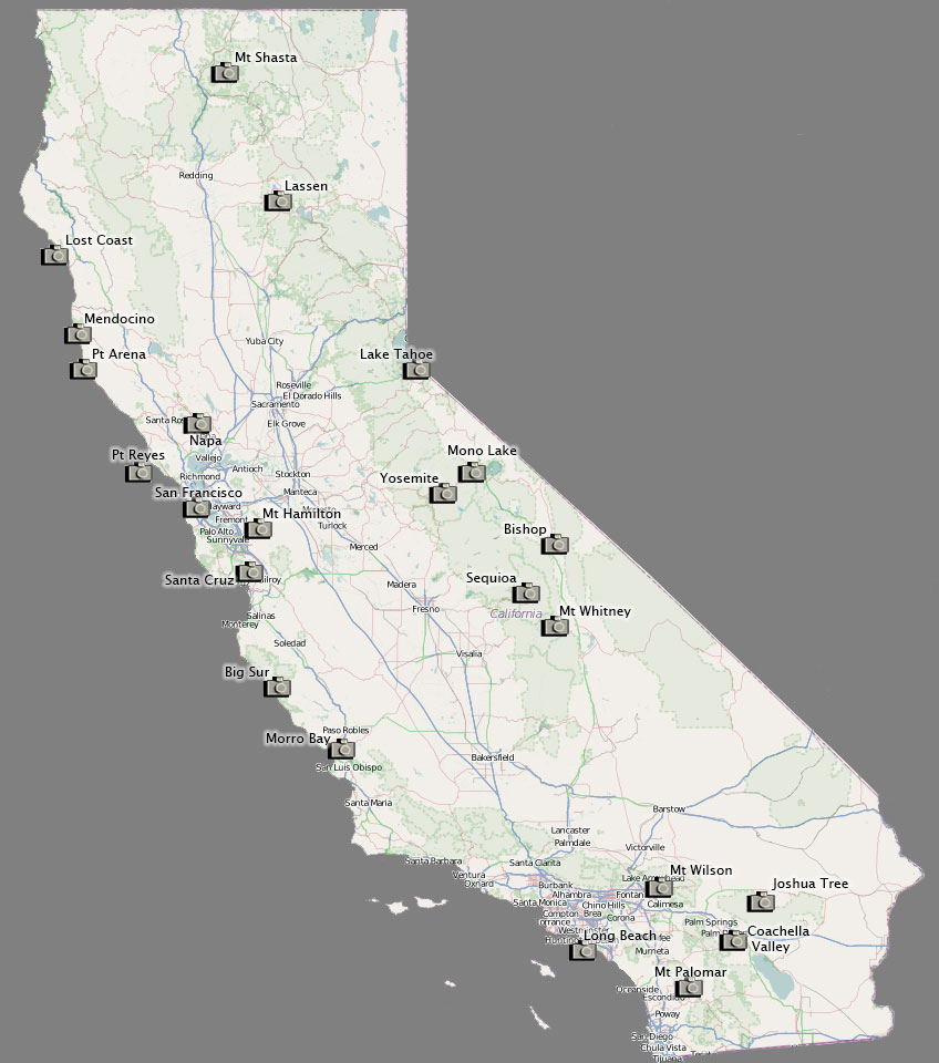

Linked views of my favorite webcams covering various scenic parts of the state of Califonia. These can be useful when planning travel to a particular location, and would like to know more specifics about the current conditions in terms of visibility, cloud cover, fog, haze, etc. Most of these images refresh every few minutes during the day, but a few less frequently, and some not all all later in the evening. A few of the cameras have a PTZ capability (Pan, Tilt, Zoom) as controllable from a remote operator, so their view can vary. Some camera operaton can also be inconsistent based on how well it or its supporting network is maintained, but typically operation is restored within a week.
If you have suggestions for an additional webcam that is consistent in its up-time to add to this page, feel free to send me an email with the pertainent information.
Other useful links for your photography planning:
 Yosemite Ahwahnee meadow (courtesy of Yosemite Conservancy) |
 Glacier Point (courtesy of Yosemite Conservancy) |
El Dorado beach at South Lake Tahoe (courtesy of Tahoetopia) |
 Pyramid Peak from Sierra at Tahoe (courtesy of Sierra at Tahoe) |
 Owens Valley looking northwest (courtesy of GBUAPCD) |
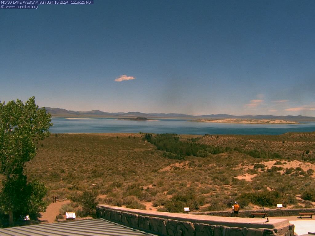 Mill Creek and Mono Lake (courtesy of the Mono Lake Comittee) |
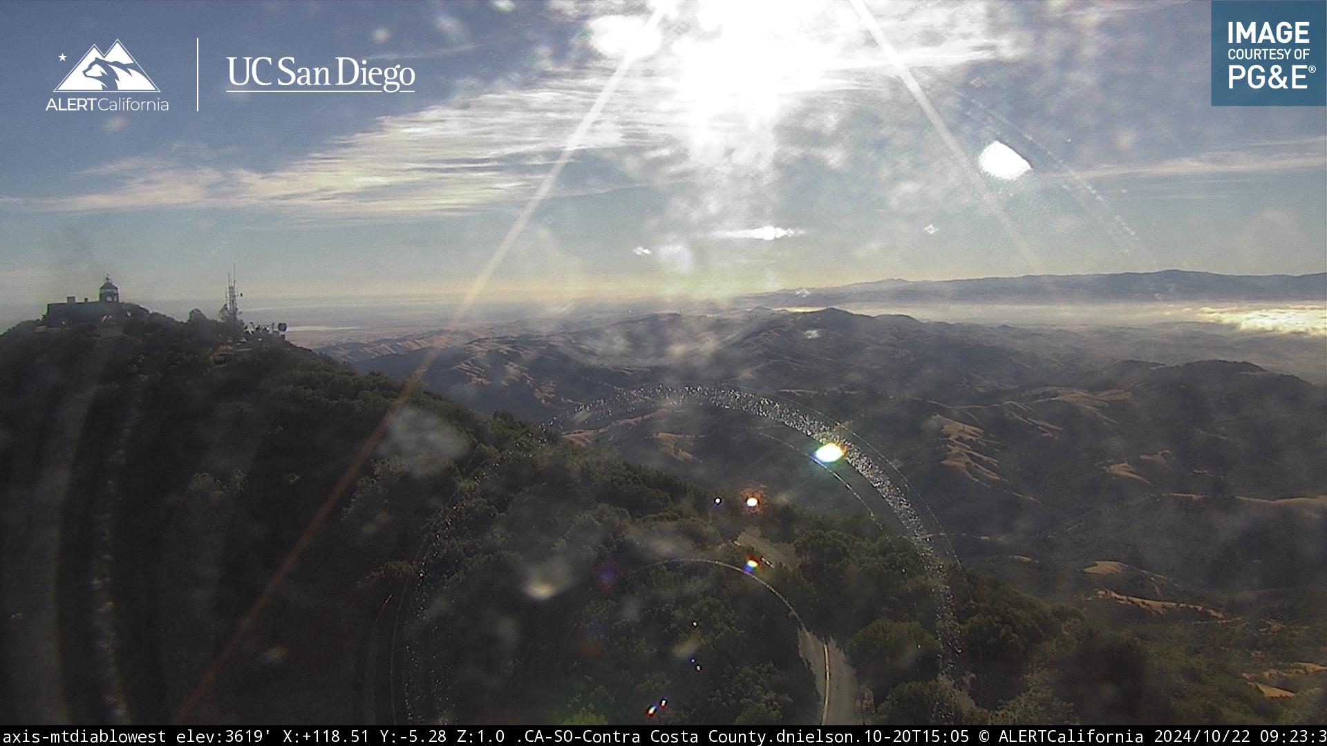 From Mt Diablo toward the northeast (courtesy of the PG&E) |
 Mt. Tamalpais view to bay area (courtesy of Mt. Tamalpais State Pk) |
 Point Reyes (courtesy of NPS) |
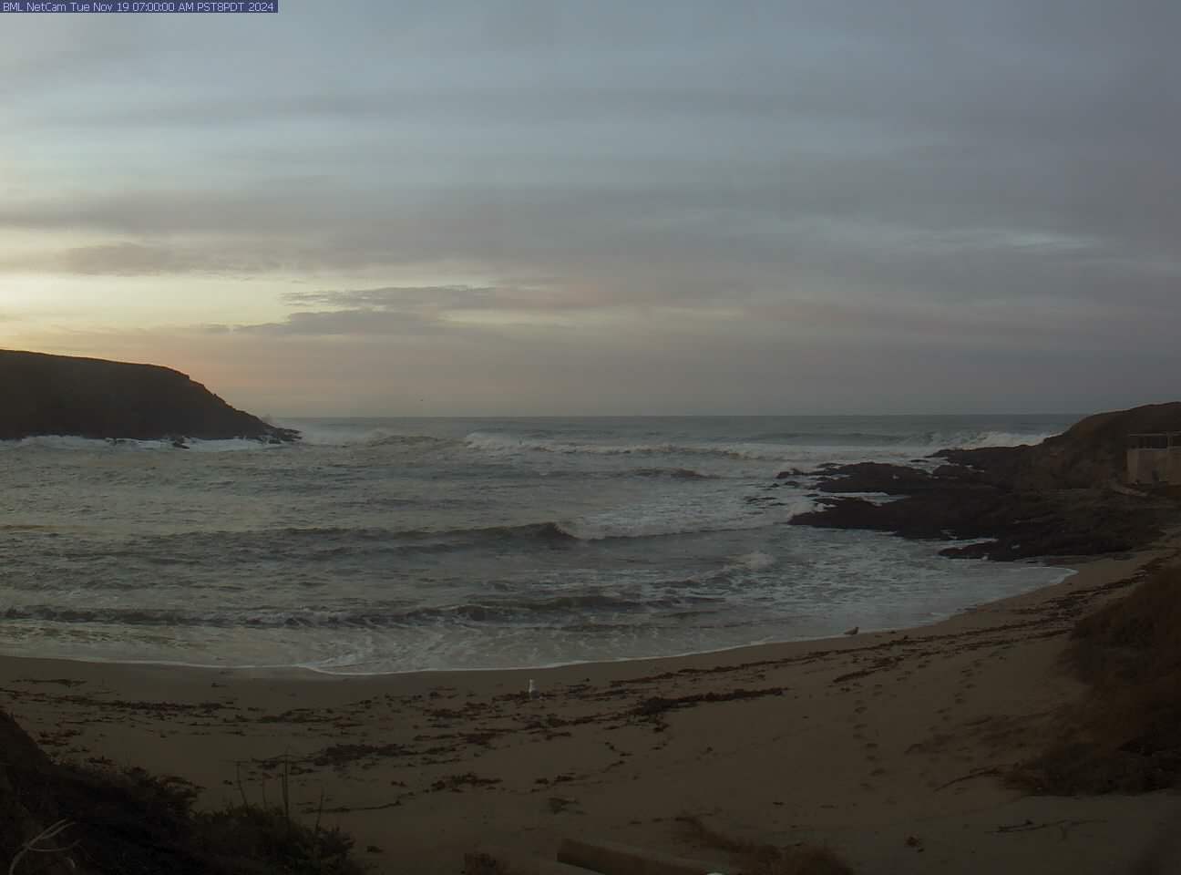 Horseshoe Cove near Bodega Bay (courtesy Bodega Marine Laboratory) |
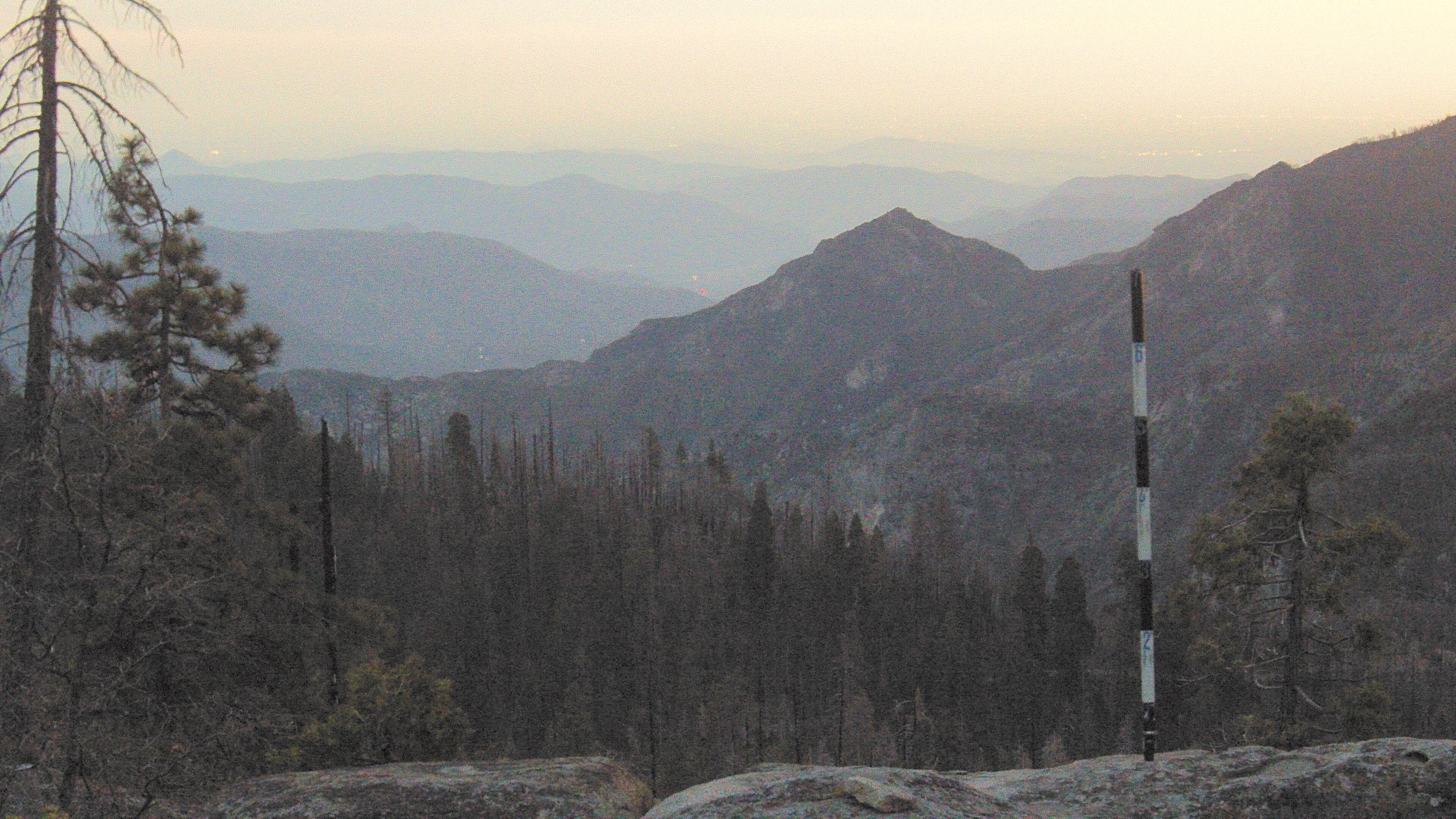 Sequoia National Park toward the southwest (courtesy of NPS) |
 Pacifica from Skyline College (courtesy of Alert California) |
 East bay from Mt Hamilton (courtesy of Univ of California Lick Observatory) |
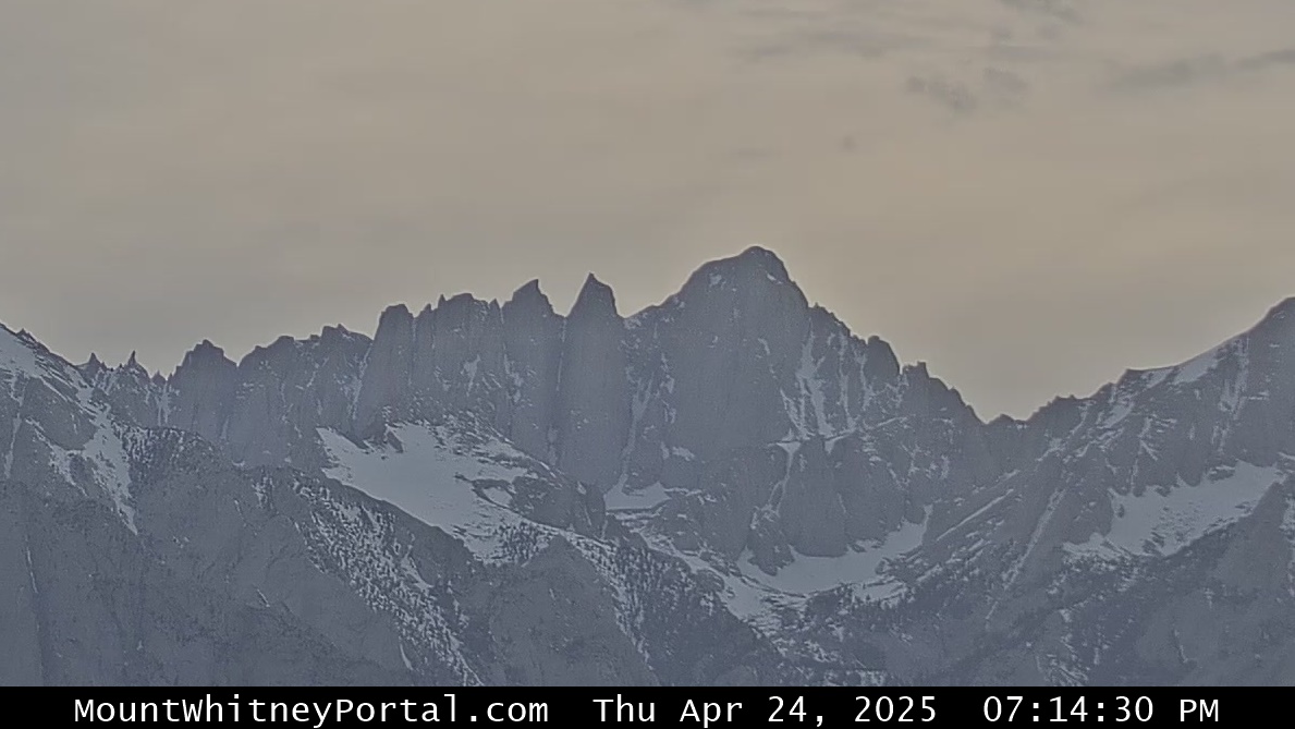 Mt. Whitney looking west (courtesy of Mt. Whitney Hostel) |
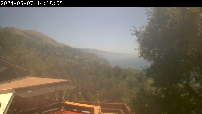 Big sur (courtesy Nepenthe Restaurant) |
 Cambria (courtesy of Alert California) |
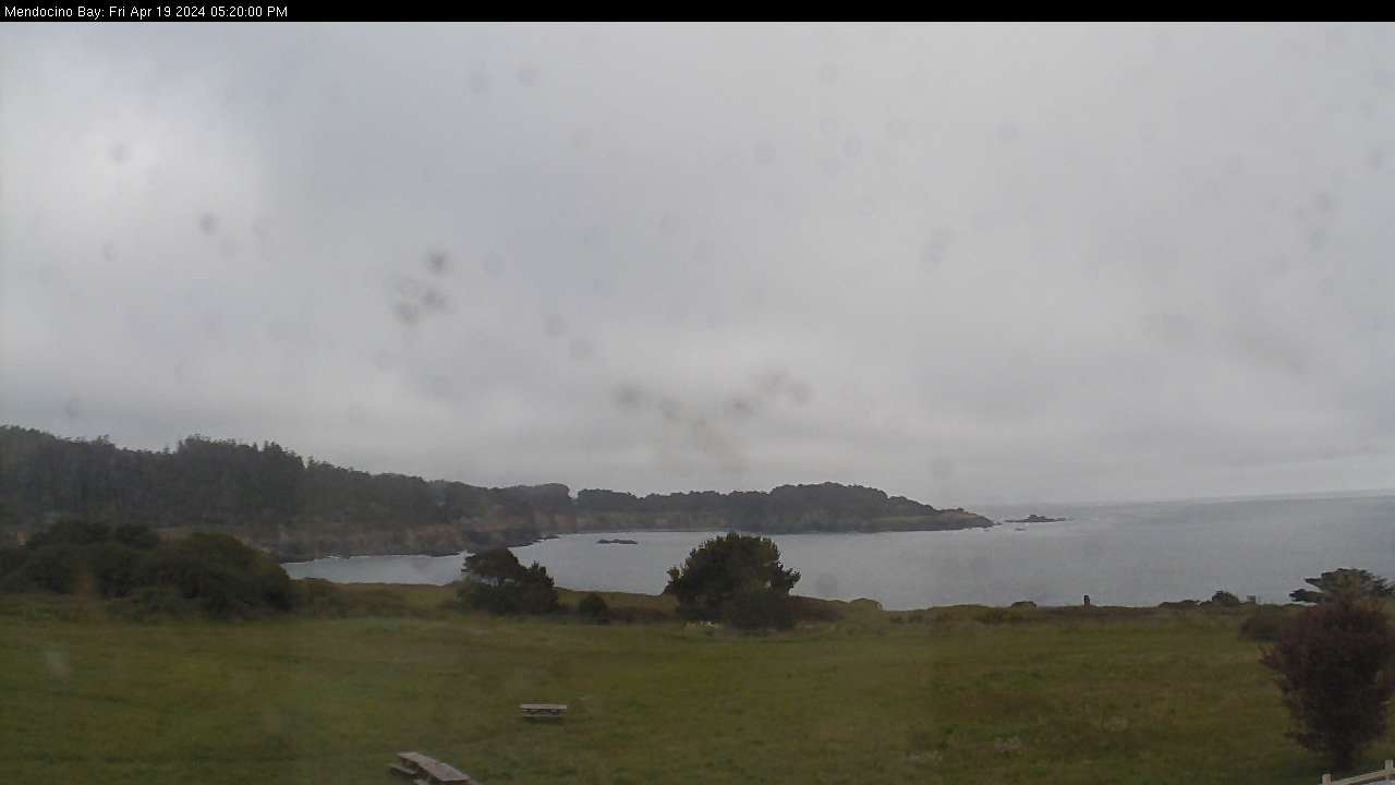 Mendocino coastline (courtesy of Sea Cottage Real Estate) |
 Calistoga valley to west (courtesy of Alert California) |
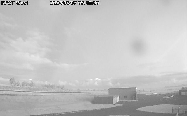 Rohnerville airport near Fortuna (courtesy of North Coast Aviation) |
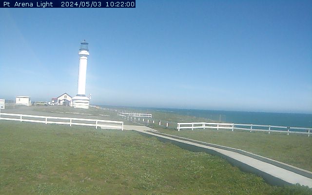 Point Arena lighthouse (courtesy of West Cam) |
 Forest Hill looking south (courtesy of Alert California) |
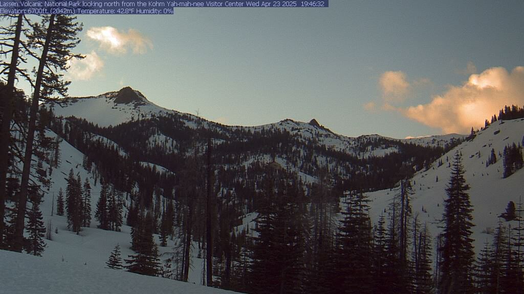 Lassen National Park looking north (courtesy of NPS) |
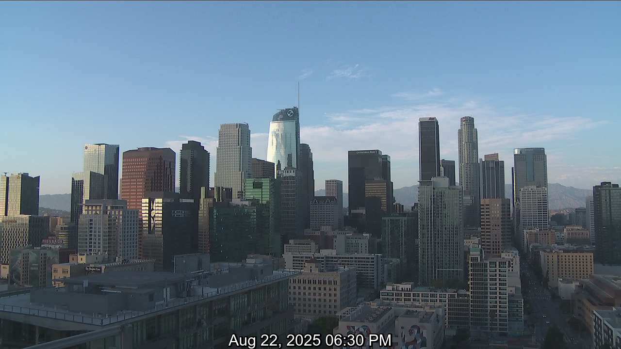 downtown Los Angeles (courtesy of ABC7.com) |
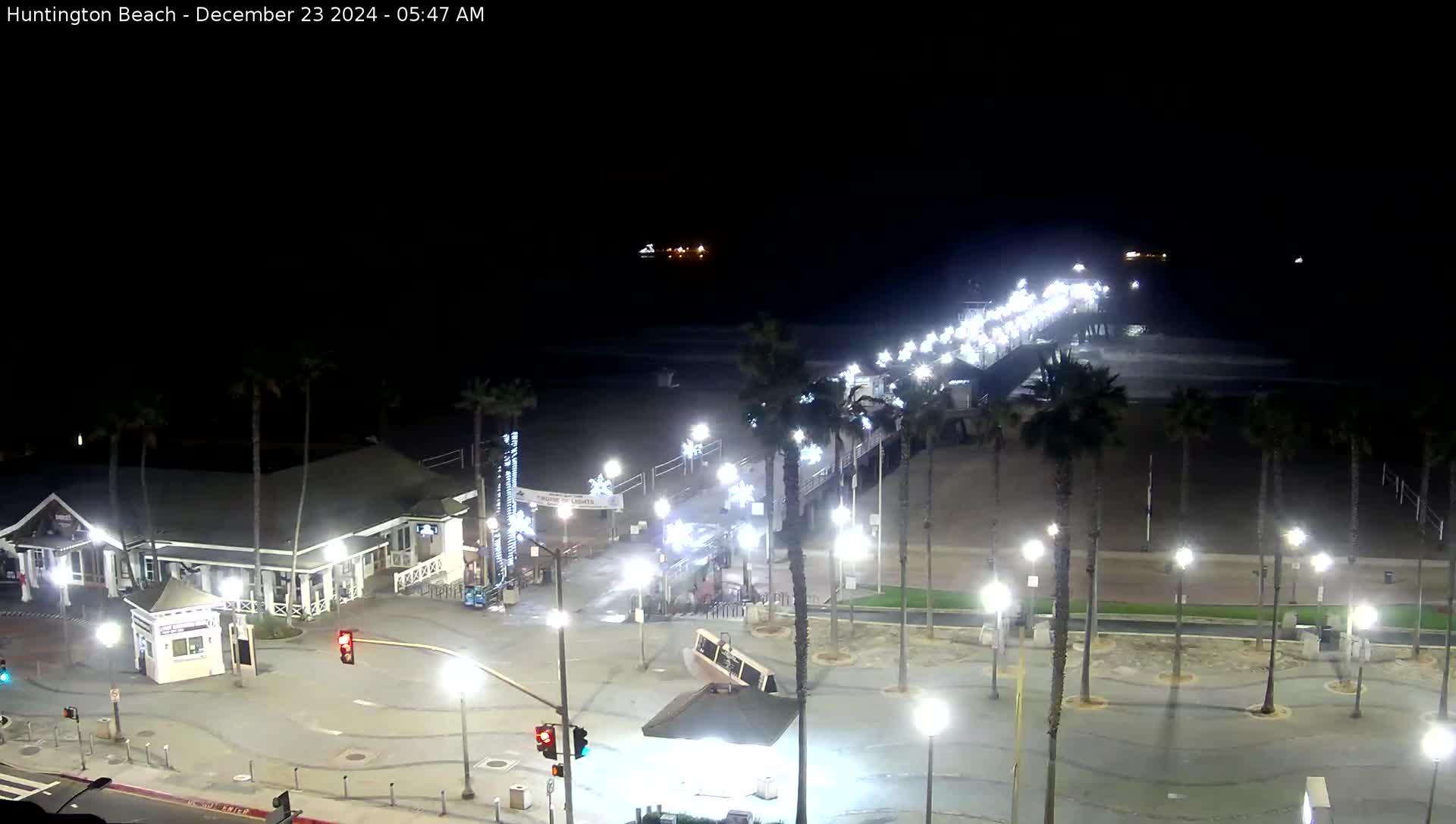 Huntington Beach pier (courtesy of HBCams) |
 Rancho Mirage courtesy of Desert Weather |
 Joshua Tree NP from Belle Mtn to the southeast (courtesy of NPS) |
 Santa Barbara (courtesy of Santa Barbara county fire) |
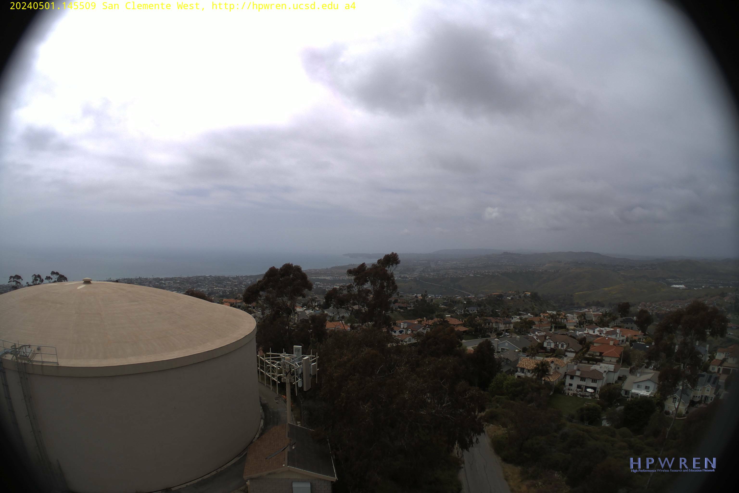 San Clemente - looking northwest (courtesy of UCSD) |